article thumbnail

Alternative navigation solutions added by Estonia due to ‘GPS Interference’

Airline Economics

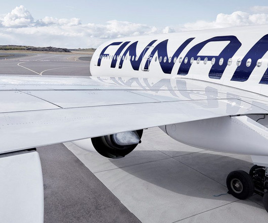
Following a GPS jamming interference in the Baltic region that prompted Finnair to pause some flights to Estonia for a month, the Estonian Air Navigation Services will offer an alternative navigation option with its distance measuring equipment solution (DME) from May 23.

article thumbnail

How to Fly an ILS Approach

Pilot Institute

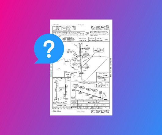
DME (Distance Measuring Equipment) calculates the slant range distance to the runway using radio frequencies. Modern IFR-certified GPS can also substitute for DME, providing precise distance information as outlined in AIM 1-2-3. This is provided by Marker Beacons, DME, and GPS.

Insiders

Sign Up for our Newsletter

This site is protected by reCAPTCHA and the Google Privacy Policy and Terms of Service apply.

Trending Sources

article thumbnail

ILS Explained (With Examples)

Pilot Institute

Marker Beacons These days, the ILS is generally paired with a DME (Distance Measuring Equipment). It allows the pilots to compare their height at each DME distance to the promulgated chart. It consists of lights that start at the landing threshold and extend into the approach area.

article thumbnail

Navigating Instrument Failure at 10,000 Feet

Fear of Landing

One hour out, our ground speed is an absurdly slow: seventy knots as indicated by our distance measuring equipment (DME). I tighten my five-point harness that secures our shoulders and hips, with a belt between our legs to prevent us from slipping forward. Out of the corner of my eye, I see Gavin tighten his harness.

Weather 97