Remove Airplanes Remove Distance Measuring Equipment Remove VOR
article thumbnail

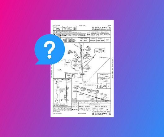
How to Fly an ILS Approach

Pilot Institute

DME (Distance Measuring Equipment) calculates the slant range distance to the runway using radio frequencies. Modern IFR-certified GPS can also substitute for DME, providing precise distance information as outlined in AIM 1-2-3. What Equipment Do You Need on the Aircraft? for the localizer and 0.7

article thumbnail

Experience in the Chair: Guiding a Twin Beech Home

Air Facts

The airport was central to the region and was well equipped as an alternate with long runways and an ATC control tower staffed with trained controllers from 6 am until midnight every day. In the 70s, enroute navigation was usually on VOR Airways (Very High Frequency Omnidirectional Radio). The Tower had no radar.

Insiders

Sign Up for our Newsletter

This site is protected by reCAPTCHA and the Google Privacy Policy and Terms of Service apply.

Trending Sources

article thumbnail

How to Read an IFR Approach Chart

Pilot Institute

However, if you look at the requirements section, youll find that you also need Distance Measuring Equipment (DME) if youre entering from a particular waypoint. Non-precision approaches (such as a localizer, VOR, LNAV, or NDB) use a Maltese cross for the FAF. The notes section tells you what to do in certain conditions.

article thumbnail

Navigating Instrument Failure at 10,000 Feet

Fear of Landing

One hour out, our ground speed is an absurdly slow: seventy knots as indicated by our distance measuring equipment (DME). I ignore him, select three VOR stations, determine our radial from each of them, draw it on the map, and determine our approximate position based on the intersection of the lines.

Weather 98