Remove Flight Plan Remove Knot Remove VOR
article thumbnail

Flight Sims for the Win: It’s All About Repetition and Drill

Flying Magazine

Scenario 4: Crosswinds If only flight instructors could control the weather, we’d have the learners practicing crosswind takeoffs and landings on a regular basis. It might be no greater than 6 knots with gusts to 10 mph. Then the CFI should increase the winds so they are 10 knots (or more) above the demonstrated crosswind component.

Crosswind 105
article thumbnail

What Are the 10 Hardest FAA Private Pilot Written Exam Questions?

Plane and Pilot

Example question: How long will it take to travel 35 nautical miles at a ground speed of 105 knots? These graphs will look very similar to graphs found in your aircraft’s pilot operating handbook that are used for flight planning. You don’t need a full sim to practice using VORs, though.

Insiders

Sign Up for our Newsletter

This site is protected by reCAPTCHA and the Google Privacy Policy and Terms of Service apply.

Trending Sources

article thumbnail

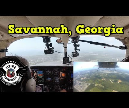
Savannah, Georgia

Gary's Flight Journal

I launched from runway three-two and pointed for the Snow Hill VOR. Once south of Myrtle Beach I was turned direct Charleston VOR. Mary had the garlic knots along with the Italian chop salad. My next step is entering my flight plan on the Garmin 480. We finished breakfast and headed to the airport. We were stuffed!

Runway 102
article thumbnail

Sweet Dreams

Photographic Logbook

However, there was a presidential TFR (temporary flight restriction) around Scranton that lay on a direct line between Sodus and Philly. It added less than 10 minutes to the overall flight time. The reroute was minimal, an insertion of Yardley VOR (ARD) into my flight plan. Seneca and Cayuga Lakes in the gloom.

article thumbnail

Drone Lingo Simplified: Acronyms Every Pilot Needs To Know

Pilot Institute

Pilots are required to check for NOTAMs along their relevant routes or locations before the start of a flight. NOTAMs are very important in that they can provide information that can cause a pilot to change their flight plans, such as Temporary Flight Restrictions (TFRs) or an airport that has become temporarily unavailable.

Pilot 52
article thumbnail

Asheville, NC and the Biltmore Estate

Gary's Flight Journal

I completed my pre flight with only needing to sump fuel on departure day. My Garmin 480 is updated and I have my flight plan ready for entry after planning on Foreflight. Our ride at six thousand five was smooth despite the brutal headwinds at thirty plus knots. Saturday 11.4 Monday 11.6 Wednesday 11.8

article thumbnail

The Key West of Ohio

Photographic Logbook

During flight planning, I determined that 8,000 feet would provide the best wind advantage of the available preferred westbound IFR cruise altitudes. West of the Geneseo VOR, I passed high above Silver Lake and the gorge in Letchworth State Park. Looking north to the east end of Lake Erie and Buffalo, NY.

Runway 82