
What Is IFR Plane Certification And Why It’s Important
Pilot's Life Blog
JANUARY 6, 2025
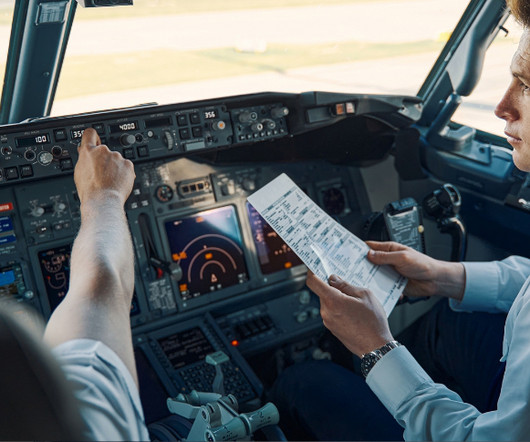
IFR (Instrument Flight Rules) certification is crucial for aircraft that need to fly in low visibility or adverse weather conditions. It allows pilots to navigate using instruments instead of relying on visual cues, ensuring safer flights in challenging environments. What is IFR Certification?


Let's personalize your content