Remove Airplanes Remove Instrument Landing System Remove Weather
article thumbnail

How to Fly an ILS Approach

Pilot Institute

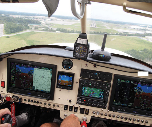
Even driving a car can be dangerous in foggy weather. So, how do pilots manage to land their aircraft safely and accurately without even being able to see where theyre going? The ILS (Instrument Landing System) uses radio signals to help pilots align the aircraft accurately on their approach to a runway.

article thumbnail

Airport Beacons Explained

Pilot Institute

By 1933, the US Airway Beacon System consisted of more than 1,500 beacons spread across approximately 18,000 miles of airways, guiding pilots safely through the skies at night. While these lights are designed to be visible from a distance, adverse weather conditions can limit their range and effectiveness.

VOR 64
Insiders

Sign Up for our Newsletter

This site is protected by reCAPTCHA and the Google Privacy Policy and Terms of Service apply.

Trending Sources

article thumbnail

RNAV Approaches Simplified: A Guide for New Pilots

Pilot Institute

These would guide them when they couldn’t see anything outside their airplane. But these systems had some problems, like not being able to work over water, or if there was something in the way of the transmitter and the aircrafts receiver. This makes more airports accessible under Instrument Flight Rules (IFR).

article thumbnail

VASI vs. PAPI: Understanding the Differences and Similarities

Pilot Institute

Three-Bar VASI To help you when flying long-bodied airplanes, like the Boeing 747 or the McDonnell Douglas MD-11, some airports use the three-bar VASI. When your eyes are on the proper slope for a long-bodied airplane, you’ll see the top bar red, the middle bar white, and ignore the lower bar, which is also white.

Runway 98
article thumbnail

Getting Back in the Air

Plane and Pilot

When I had the endurance to drive 20 miles to an appointment, had good situational awareness of all the cars around me on the freeway, and when driving didn’t take 100 percent concentration, I had passed the first challenge before getting in the airplane. The first flight got weathered out, with broken clouds at 1,500 feet.

article thumbnail

Understanding LPV, LNAV, and VNAV: The Easy Way

Pilot Institute

(Explaining Each in Simple Terms) LPV, LNAV, and VNAV are three navigation types that provide Global Positioning System (GPS) based instrument approach guidance for your aircraft. That’s because each one assists you in navigating to the runway based on the weather and your aircraft equipment. Better weather conditions.

article thumbnail

How to Fly a VOR Approach: Made Easy

Pilot Institute

Understanding both traditional and GPS-integrated methods gives you more options in various weather conditions. Consistent instrument scanning and course corrections are required to maintain a precise approach. Unlike an Instrument Landing System (ILS), a VOR approach only provides horizontal guidance.

VOR 52