Remove AGL Remove Weather Remove Wind Shear
article thumbnail

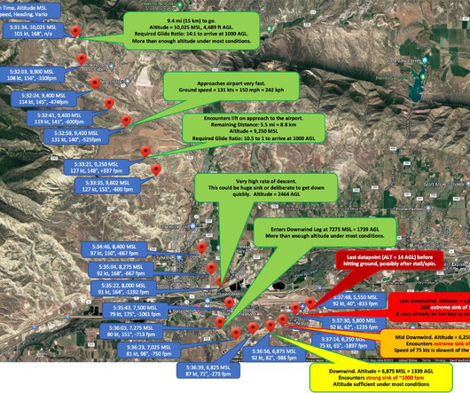
Invisible Trap Kills Glider Pilot – How To Avoid Microbursts

Chess In the Air

He frequently hosted visiting pilots, providing them with detailed briefings of the area and the weather. The CAPE index, a measure of convective energy and instability, was below 100 joules, indicating a very low probability of severe weather or thunderstorms. Boundary layer winds were moderate at 10-20 kt out of the WNW.

Pilot 52
article thumbnail

Are Dry Microbursts Really An Invisible Trap? – Responding to Reactions

Chess In the Air

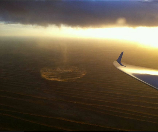
I have tried to wait out a storm only to watch a bigger and badder one to move in and the overall weather situation getting worse. We should also observe the ground for other markers such as the disturbed surface of lakes, wind rushing through crop fields, blowing smoke, etc. We need to watch out for all markers of high surface winds.

Insiders

Sign Up for our Newsletter

This site is protected by reCAPTCHA and the Google Privacy Policy and Terms of Service apply.

Trending Sources

article thumbnail

What Is an Outflow Boundary Shown on a Surface Analysis Chart? 

Flying Magazine

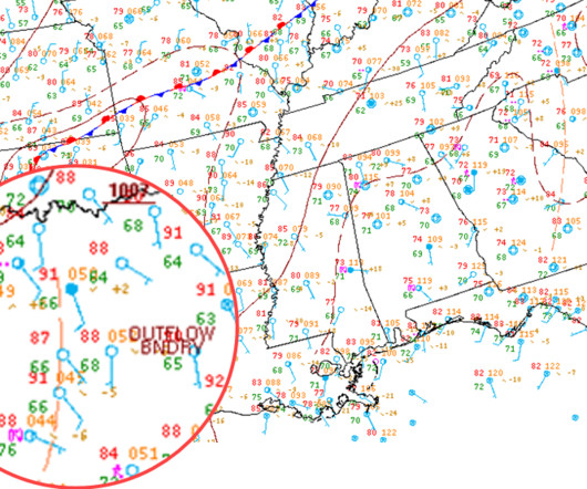
Answer: When looking at the surface analysis chart issued every three hours by meteorologists at the Weather Prediction Center (WPC), you may have seen a tan dashed line with a label “OUTFLOW BNDRY” nearby. Crescent-shaped convective outflow boundary as detected on NEXRAD Doppler weather radar.

article thumbnail

How to Perform a Go-Around (The Right Way)

Pilot Institute

Weather Go-arounds due to weather occur due to wind shear caused by gusting winds or microbursts. When an aircraft encounters horizontal wind shear, it could be blown off centerline. Similarly, if an aircraft encounters vertical wind shear, it reduces or increases the sink rate.