Remove AGL Remove Turbulence Remove Weather
article thumbnail

ForeFlight adds wake turbulence alerts

iPad Pilot News

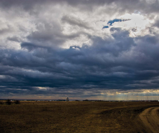
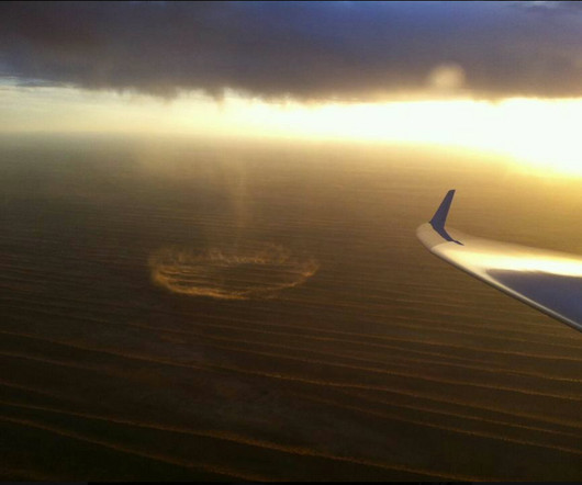
ForeFlight adds wake turbulence alerts iPad Pilot News Datalink weather stole the show when portable ADS-B technology debuted over a decade ago, providing pilots with free in-flight weather imagery in mobile apps like ForeFlight. The alert can be dismissed with a tap or will disappear after 10 seconds if not acknowledged.

article thumbnail

My Near Death Experience

Air Facts

A pit stop at North Myrtle Beach, South Carolina (KCRE) was planned, and after a weather briefing, I filed an IFR flight plan. The Mooney is well-equipped for weather avoidance as it is equipped with a sophisticated spheric lighting detector. I immediately leveled off at around 650’ AGL, and began slowing down.

Descent 71
Insiders

Sign Up for our Newsletter

This site is protected by reCAPTCHA and the Google Privacy Policy and Terms of Service apply.

Trending Sources

article thumbnail

Fly a contact approach from Pilot Workshops

Flight Training Central

However, contact approaches can be the perfect tool with the right weather and airport configuration. You’re skimming the cloud tops at 3500 feet, which is 2900 feet AGL You ask Approach for lower, but the controller says you’re already at the MVA for the area so you can’t get lower. Doing so at night is a death wish.

article thumbnail

Invisible Trap Kills Glider Pilot – How To Avoid Microbursts

Chess In the Air

He frequently hosted visiting pilots, providing them with detailed briefings of the area and the weather. The CAPE index, a measure of convective energy and instability, was below 100 joules, indicating a very low probability of severe weather or thunderstorms. At this point he still had an altitude of 8,275 ft MSL, i.e. 2,739 ft AGL.

Pilot 52
article thumbnail

Are Dry Microbursts Really An Invisible Trap? – Responding to Reactions

Chess In the Air

I have tried to wait out a storm only to watch a bigger and badder one to move in and the overall weather situation getting worse. We should make more pro-active use of our radios to warn other aviators of threatening weather. They are also not limited to summer soaring weather. Are dry microbursts really invisible?

article thumbnail

Long Trips & Small Airplanes

Plane and Pilot

Maybe it’s the Georgia flying weather, or maybe it’s the ever-increasing emphasis on “old” pilot instead of “bold” pilot, but it seems that flight planning these days is a lot more about if and when than about route and altitude. But if I was going VFR over strange territory, I would want lots more than 1,000 feet agl.

article thumbnail

What Is an Outflow Boundary Shown on a Surface Analysis Chart? 

Flying Magazine

Answer: When looking at the surface analysis chart issued every three hours by meteorologists at the Weather Prediction Center (WPC), you may have seen a tan dashed line with a label “OUTFLOW BNDRY” nearby. Crescent-shaped convective outflow boundary as detected on NEXRAD Doppler weather radar.