Remove AGL Remove NOTAMs Remove Wind Shear
article thumbnail

Drone Lingo Simplified: Acronyms Every Pilot Needs To Know

Pilot Institute

AGL Above Ground Level AGL is simply a way to tell the basis from which any given height or altitude is measured. Simply put, 400 feet AGL means that the 400 feet is measured from the underlying ground surface above the specific airspace. NOTAMs are publicly available.

Pilot 52
article thumbnail

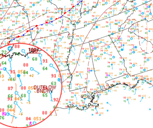
What Is an Outflow Boundary Shown on a Surface Analysis Chart? 

Flying Magazine

Some gust fronts can be completely harmless or may be a precursor for an encounter with severe turbulence and dangerous low-level convective wind shear. READ MORE: How Do You Check NOTAMs? These gust fronts often contain severe or extreme turbulence, strong and gusty straight-line winds, and low-level convective wind shear.