Remove AGL Remove General Aviation Remove Instrument Flight Rules
article thumbnail

Drone Lingo Simplified: Acronyms Every Pilot Needs To Know

Pilot Institute

AGL Above Ground Level AGL is simply a way to tell the basis from which any given height or altitude is measured. Simply put, 400 feet AGL means that the 400 feet is measured from the underlying ground surface above the specific airspace. This is a general aviation term that also applies to drone flight.

Pilot 52
article thumbnail

RNAV Approaches Simplified: A Guide for New Pilots

Pilot Institute

Theyre especially useful for airports that dont have the budget or suitable terrain to install an Instrument Landing System (ILS). This makes more airports accessible under Instrument Flight Rules (IFR). Otherwise, the airport would have to suspend flight operations in poor visibility. So, why is LPV so accurate?

Insiders

Sign Up for our Newsletter

This site is protected by reCAPTCHA and the Google Privacy Policy and Terms of Service apply.

Trending Sources

article thumbnail

Class B Airspace Explained

Pilot Institute

Keeping jet traffic safe alongside slower general aviation aircraft is harder still. Class B airspace is also charted on VFR Sectionals and instrument flight rules (IFR) Enroute Low Altitude charts. That’s a considerable detour for small general aviation aircraft. Here’s how to bypass the Bravo.

article thumbnail

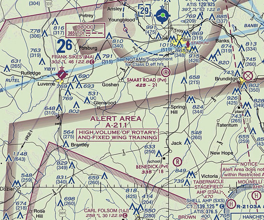
Pilot’s guide to special use airspace

Flight Training Central

Military Operations Area Military Operation Areas (MOA) , are segments of airspace defined by vertical and lateral limits used to segregate military training activities from aircraft operating under instrument flight rules. MTR’s with segments above 1,500′ AGL are identified by a three-digit number.

Clearance 111