

Heads-up, hands-free: How to use iPad audio alerts for safer flights
iPad Pilot News
MARCH 11, 2025
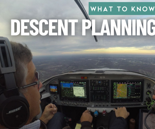
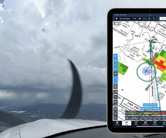
IN-FLIGHT ALERTS 500 AGL Alerts – Alerts when descending through 500 ft. AGL after having been above 1,000 ft. The alert will only sound once every 60 seconds and is automatically disabled if groundspeed is less than 40 knots. AGL (or when AGL is unknown), the descent rate exceeds 4,000 ft. per minute.


Let's personalize your content