Remove AGL Remove Flight Deck Remove NOTAMs
article thumbnail

Drone Lingo Simplified: Acronyms Every Pilot Needs To Know

Pilot Institute

AGL Above Ground Level AGL is simply a way to tell the basis from which any given height or altitude is measured. Simply put, 400 feet AGL means that the 400 feet is measured from the underlying ground surface above the specific airspace. NOTAMs are publicly available.

Pilot 52
article thumbnail

FAA Updates Datalink Weather Advisory Circular

iPad Pilot News

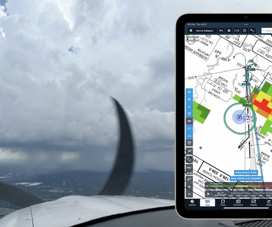
On the advisory side, the FAA recently updated the related advisory circular on the topic: AC 00-63B – Use of Flight Deck Displays of Digital Weather and Aeronautical Information. In addition to providing continuous in-flight weather updates, ADS-B provides updates to NOTAMs and TFRs in flight too.

Weather 59
article thumbnail

ForeFlight vs. Garmin Pilot: 3 key differences to help you decide

iPad Pilot News

These range from passive red badges on flight plan waypoints and approach charts to identify NOTAMs and closed runways, to on-screen pop-ups accompanied by an aural message to make sure the app gets your attention. In the air, theyll notify when approaching Class, B, C or D airspace, a TFR or the Washington, D.C.

Pilot 105