Remove AGL Remove Flight Deck Remove Flight Plan
article thumbnail

Drone Lingo Simplified: Acronyms Every Pilot Needs To Know

Pilot Institute

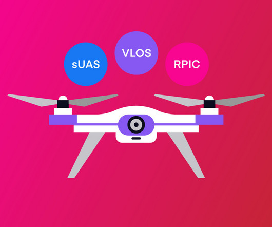
AGL Above Ground Level AGL is simply a way to tell the basis from which any given height or altitude is measured. Simply put, 400 feet AGL means that the 400 feet is measured from the underlying ground surface above the specific airspace. This is as opposed to other altitude measurements, such as AMSL or above mean sea level.

Pilot 52
article thumbnail

FAA Updates Datalink Weather Advisory Circular

iPad Pilot News

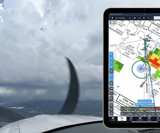
On the advisory side, the FAA recently updated the related advisory circular on the topic: AC 00-63B – Use of Flight Deck Displays of Digital Weather and Aeronautical Information. Be aware of the product time or “valid until” time on the particular data link information displayed in the flight deck.

Weather 59
Insiders

Sign Up for our Newsletter

This site is protected by reCAPTCHA and the Google Privacy Policy and Terms of Service apply.

Trending Sources

article thumbnail

ForeFlight vs. Garmin Pilot: 3 key differences to help you decide

iPad Pilot News

The latest version of the app is extremely versatile, providing all the digital resources a student pilot needs when learning to fly a Cessna 172, while simultaneously offering a Gulfstream pilot advanced flight planning and international resources needed to fly from New York to London.

Pilot 105
article thumbnail

Riding the Mountain Waves

Plane and Pilot

FAA weather charts can help for higher altitudes but when just a few thousand feet agl, they may be less useful. Anything in the airplane not tied down floated, even dust from the flight deck carpet, then slammed to the nearest surface moments later as we were caught by the next wave. Maintain maneuvering airspeed at all times.