Remove AGL Remove Clearance Remove Turbulence
article thumbnail

Fly a contact approach from Pilot Workshops

Flight Training Central

You’re skimming the cloud tops at 3500 feet, which is 2900 feet AGL You ask Approach for lower, but the controller says you’re already at the MVA for the area so you can’t get lower. You can’t cancel IFR, because you won’t be able to maintain VFR cloud clearance requirements. NM past the airport only to turn around and come back.

article thumbnail

My Near Death Experience

Air Facts

I queried ATC about when to expect the approach clearance and was informed that the Saratoga had appeared to land but the pilot hadn’t contacted ATC to close his IFR flight plan. I immediately leveled off at around 650’ AGL, and began slowing down. I had seen these clouds associated with turbulence before, but all appeared to be calm.

Descent 71
Insiders

Sign Up for our Newsletter

This site is protected by reCAPTCHA and the Google Privacy Policy and Terms of Service apply.

Trending Sources

article thumbnail

Long Trips & Small Airplanes

Plane and Pilot

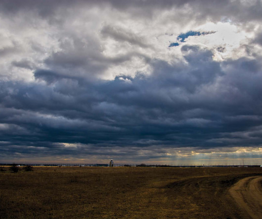
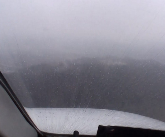
Also, from when I lived out West, there was the mountaintop clearance guideline—1,000 feet for every 10 knots of wind, with 30 knots meaning no-go. But if I was going VFR over strange territory, I would want lots more than 1,000 feet agl. With my risk profile, IFR really means ignoring crappy VFR and VFR cloud clearance requirements.

article thumbnail

How Low is Too Low?

Plane and Pilot

If the weather is not appropriate for instrument flight in light piston-engine airplanes, meaning the clouds contain ice, turbulence, or embedded thunderstorms, you’re probably better off using your VFR privileges, so long as you set strict limits. If on radar vectors, the controller may have another option for you.

Weather 73
article thumbnail

How Low Is Too Low?

Plane and Pilot

If the weather is not appropriate for instrument flight in light piston-engine airplanes, meaning the clouds contain ice, turbulence, or embedded thunderstorms, you’re probably better off using your VFR privileges, so long as you set strict limits. If on radar vectors, the controller may have another option for you.

Weather 52
article thumbnail

Always Have an Out

Photographic Logbook

Current minimums on the RNAV-28 are 558 feet AGL since we lost our LPV approaches due to obstructions. Seeing a plume of snow billowing from the peak of Whiteface, I was concerned about experiencing turbulence downwind of the peak, but the air remained benign all the way around. Peak of Whiteface with Lake Placid behind it.

Ceiling 52