Remove AGL Remove Ceiling Remove Flight Deck
article thumbnail

Radar, FDR Disagree On DC Blackhawk Altitude

AV Web

At a press briefing on Saturday, NTSB member Todd Inman said the flight data recorder and ADS-B data put the regional jet at 325 feet AGL at the point of impact, plus or minus 25 feet while the controller’s console showed the helicopter at 200 feet, the ceiling of the flight corridor it was flying at the time.

AGL 134
article thumbnail

Delta Connection flight received sink rate alert before Toronto Pearson crash

Aerotime

TSB Approach sequence Due to reported wind gusts as the CRJ900 approached Toronto Pearson following a flight from MinneapolisSaint Paul International Airport (MSP) the aircraft was flown at 149 knots. It is important to note that at this stage in the investigation, it is too early to draw conclusions as to the causes of this accident.

Insiders

Sign Up for our Newsletter

This site is protected by reCAPTCHA and the Google Privacy Policy and Terms of Service apply.

Trending Sources

article thumbnail

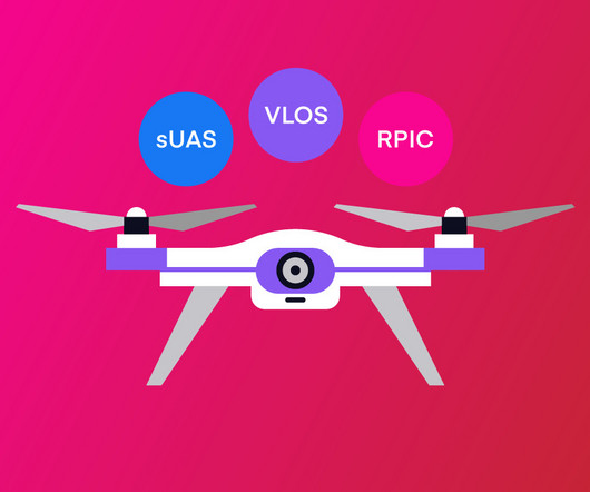
Drone Lingo Simplified: Acronyms Every Pilot Needs To Know

Pilot Institute

AGL Above Ground Level AGL is simply a way to tell the basis from which any given height or altitude is measured. Simply put, 400 feet AGL means that the 400 feet is measured from the underlying ground surface above the specific airspace. This is as opposed to other altitude measurements, such as AMSL or above mean sea level.

Pilot 52
article thumbnail

Riding the Mountain Waves

Plane and Pilot

Often, turbulence is the harbinger of mountain waves, not the ideal ceiling—and visibility unlimited—day. FAA weather charts can help for higher altitudes but when just a few thousand feet agl, they may be less useful. Think of the Great Basin High as a set of bellows pointed at southeastern Wyoming. Nose up but descending fast.

article thumbnail

FAA Updates Datalink Weather Advisory Circular

iPad Pilot News

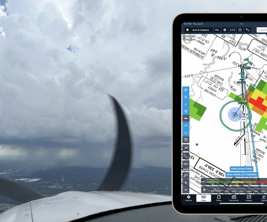
On the advisory side, the FAA recently updated the related advisory circular on the topic: AC 00-63B – Use of Flight Deck Displays of Digital Weather and Aeronautical Information. Be aware of the product time or “valid until” time on the particular data link information displayed in the flight deck.

Weather 59
article thumbnail

We Fly: Cirrus SR G7

Flying Magazine

Though it’s not as overtly revolutionary as the Cirrus Airframe Parachute System (CAPS) or Safe Return enabled by Garmin Autoland on Cirrus’ SF50 Vision Jet, the reimagined flight deck in the new SR G7 and other improvements make a more immediate impact—because pilots benefit from them on every flight, from the moment you press the start button.

Pilot 111