article thumbnail

How to Read METAR and TAF Reports

Pilot Institute

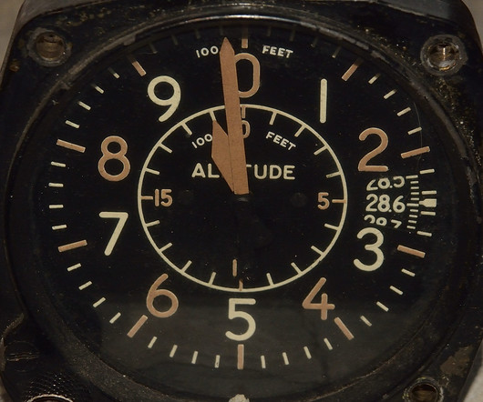
Altimeter Pressure (A2990) The next part of the report indicates the local atmospheric pressure, measured in inches of mercury (inHg). Pilots use this value to adjust their altimeters, ensuring they display altitude as close to mean sea level (MSL) as possible. Its also possible to report negative temperatures with an M prefix.

article thumbnail

How to Calculate Density Altitude (Without a Math Degree)

Pilot Institute

Types of Altitude To fundamentally understand density altitude, you need to understand the five types of altitude used in aviation: Indicated altitude: the altitude read on the altimeter (regardless of altimeter setting) Pressure Altitude: the indicated altitude of the altimeter when it is set to 29.92 Press ENTER. Press ENTER.

Insiders

Sign Up for our Newsletter

This site is protected by reCAPTCHA and the Google Privacy Policy and Terms of Service apply.

Trending Sources

article thumbnail

Sporty’s Most Frequently Missed Test Questions—June 2025

Flight Training Central

Based upon the altitude indicated by altimeter #3, which course direction is appropriate for this VFR cruising altitude? The minimum flight visibility required for VFR flights above 10,000 feet MSL and more than 1,200 feet AGL in controlled airspace is 5 miles. South-Southeast North-Northeast Southwest Correct! 180°-359° magnetic.

VOR 59
article thumbnail

Most Frequently Missed Private Pilot Written Test Questions—January 2025

Flight Training Central

Based upon the altitude indicated by altimeter #3, which course direction is appropriate for this VFR cruising altitude? 3,823 feet MSL the surface 700 feet AGL Correct! Which condition would cause the altimeter to indicate a lower altitude than true altitude? Refer to Figure 82.) 080 magnetic. 180-359 magnetic. 0-179 true.

article thumbnail

Practicing Steep Turns: Techniques to Improve Pilot Control and Precision

Pilot's Life Blog

Monitor your instruments closely, especially the altimeter and airspeed indicator, and make small, continuous adjustments. Perform at safe altitude (3,000–4,000 feet AGL) using increased power (about 200–300 RPM above cruise). Maintaining the Turn: Use pitch control to maintain altitude. What defines a standard steep turn?

Pilot 52
article thumbnail

Understanding Different Types of Altitudes

Northstar VFR

Before discussing the different types of altitude, let's discuss the one common thing every pilot uses in reference to altitude: The altimeter. An altimeter is standard in every aircraft, and its sole job is to inform the pilot of how high in the sky they are. What is standard weather? If you set 29.92 It’s really that simple.

article thumbnail

RNAV Approaches Simplified: A Guide for New Pilots

Pilot Institute

Theyre pretty much the same thing, but heres the difference: DH is measured above the ground (AGL). LPV is the most accurate RNAV approach and can get you as low as 200 feet above the ground (AGL), just like an ILS Category I approach. On approach charts, youll usually see both the decision height (DH) and the decision altitude (DA).